2019-04-28 / Sébastien Rochette / database, docker, maps, tips

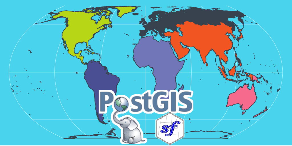
Interact with PostGIS from R

PostGIS extends capabilities of PostgreSQL database to deal with spatial data. Using PostGIS, your database supports geographic queries to be run directly in SQL. In this blog post, we will connect and interact with a PostGIS database from R, using {DBI} and {sf}. Package {sf} and PostGIS are friends Package {sf} is similar to PostGIS database in multiple ways: R ...

2019-03-08 / Sébastien Rochette / dataviz, maps, tips

SatRday Paris: Build interactive waffle plots

Can mapping tools be diverted to other uses? Of course ! See how we play with leaflet and leafgl to quickly render a giant waffle made of millions of polygons. Spatial tools are not only for spatial data At SatRday in Paris, I presented a talk entitled “Everything but maps with spatial tools”. The aim is to show that there ...

2019-02-03 / Colin Fay / shiny, tips

A little trick for debugging Shiny

This is gonna be a short post about a little trick I’ve been using while developing Shiny Apps. (Spoiler: nothing revolutionary) A browser anywhere, anytime The first thing to do is to insert an action button, and a browser() in the observeEvent() watching this button. This is a standard approach: at any time, you just press this button, and you’re ...

2018-05-26 / Vincent Guyader / rstudio, tips

The Best Rstudio Snippet Ever!

Because I was tired of typing the same thing over and over. I finally took the time to make myself a little Rstudio snippet. To do this just go to Tools > global Option > code > edit snippet and to add in the list these few lines : snippet aa ${1:dataset} <- ${1:dataset} %>% ${0} This is the Result ...