2022-08-19 / Sébastien Rochette / docker, maps, server, ubuntu
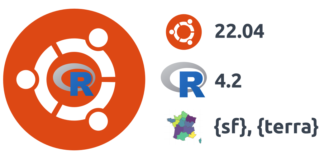
Installation of R 4.2 on Ubuntu 22.04.1 LTS and tips for spatial packages
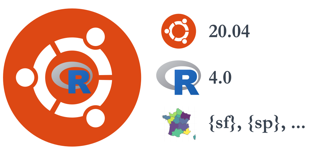
It is again this time in your Ubuntu user’s life where you plan to upgrade your server installation from Ubuntu 20.04 to Ubuntu 22.04 LTS. Indeed, the first point release 22.04.1 is now there, and you’d like somebody else to try it for you before loosing all your work. Let me do it for you ! We will also use ...